Sunshine Coast Flood Map: How to Check Your Property Risk
If you want to know whether your property floods, the fastest answer is this: search your address on Sunshine Coast Council's online mapping tool. It will show you overland flow paths, creek and river flood overlays, storm tide risk, and historical flood extents for your exact block. Everything else in this guide is about helping you understand what that result actually means and what to do with it.
Whether you're buying, renovating, insuring, or just want peace of mind after a big wet season, here's how to use the Sunshine Coast flood map properly, and why it's worth more than a quick glance.
What Is the Sunshine Coast Flood Map?
The Sunshine Coast flood map is a council-maintained overlay system that shows the flood risk associated with specific properties and areas across the region. It's a planning and safety tool, not a prediction of what will happen in the next storm, but a record of what the data says could happen based on modelling and history.
Who Publishes and Maintains It
Sunshine Coast Council is responsible for producing and updating the flood mapping for the region. It feeds into the council's planning scheme, which means it directly affects what you can and can't build, and under what conditions, on flood-affected land.
What It Shows
The map typically layers several types of flood information over a standard street map, including:
- Overland flow flooding: water that moves across the land during heavy rain, often away from any creek or river.
- Creek and river flooding: flooding associated with waterways overtopping their banks.
- Storm tide inundation: coastal flooding driven by storm surge and tide, relevant for low-lying coastal suburbs.
- Historical flood extents: records of where floodwater has actually reached in past events.
Each layer can be turned on or off, which is useful, but it also means it's easy to misread a map if you only look at one layer and assume it's the full picture.
How to Access the Official Sunshine Coast Flood Map
The official tool lives on the Sunshine Coast Council website, and searching it directly by address is the quickest way to get a result specific to your property. Don't rely on screenshots, social media posts, or general suburb reputation. Flood risk can vary significantly from one property to the next, even on the same street.
Step-by-Step: Searching Your Address
- Go to Sunshine Coast Council's online mapping portal (often listed under "flood information" or "interactive mapping").
- Enter your property address or lot/plan number into the search bar.
- Select the relevant flood layers you want to view (overland flow, river, storm tide, historical).
- Zoom in to your specific property boundary to see which overlays intersect your land.
- Note any reference numbers or risk categories shown, you'll need these if you contact council or an insurer.
Alternative Ways to Check
If you want something more formal than a quick online look, there are a few other avenues:
- Flood certificates: a council-issued document confirming the flood information held for a specific property, often required for conveyancing.
- Planning enquiries: you can contact council directly to ask about flood overlays affecting a specific title.
- PD Online or equivalent planning portals: useful for checking development applications, approvals, and conditions tied to flood-affected land.
How to Read and Interpret the Flood Overlay
A flood map is only useful if you understand what the colours and categories actually mean for your property. Don't assume "a colour appears on my block" automatically means "my house will flood", context matters.
Understanding Flood Risk Categories
Councils generally classify flood risk into bands, often based on the probability of a flood event occurring in any given year (sometimes called the Annual Exceedance Probability). Lower probability events usually mean deeper, more extensive flooding when they do occur. The exact category names and thresholds used on the Sunshine Coast map should be read directly from the legend provided on the council's tool, as this is the authoritative source.
Defined Flood Events vs Historical Flood Levels
These are two different things, and people often mix them up:
- Defined flood events are modelled scenarios, used for planning purposes, based on data and engineering assumptions.
- Historical flood levels are records of where water has actually been in real past events.
A property can show up on one layer and not the other. Always check both if they're available.
Common Symbols, Colours and Layers Explained
Most flood mapping tools use a graduated colour scale (often lighter to darker shades) to indicate increasing flood depth or risk, with separate line or shaded overlays for different flood types (overland flow vs riverine vs storm tide). Always refer to the legend on the specific map you're viewing, as colour meanings can differ between tools and over time as maps are updated.
Which Sunshine Coast Suburbs Are Most Flood-Prone?
As a general rule, low-lying land near rivers, creeks, and the coast carries higher flood risk than elevated hinterland blocks, but this is guidance only, not a substitute for checking your own address.
Low-Lying Coastal and Riverside Areas
Areas around catchments like the Maroochy River and Mooloolah River have historically been more exposed to riverine and overland flow flooding, simply due to their proximity to waterways and lower elevation. Suburbs regularly named in council flood studies and local flood history as higher-risk due to their position on or near these catchments include Maroochydore, Bli Bli, Yandina, Kuluin, Diddillibah, Mooloolah Valley and parts of Nambour along the Petrie Creek system. Low-lying pockets of Caloundra and the canal estates around Minyama, Buddina and Parrearra can also be exposed to storm tide inundation during significant coastal weather events. This isn't an exhaustive list, and it doesn't mean every property in these suburbs floods, it simply reflects where the underlying geography and flood history make the risk more common.
Notable Past Flood Events
Flood history is a big part of why these areas carry the reputation they do. The Sunshine Coast has seen several major flood events tied to ex-tropical cyclones, east coast lows and intense rain depressions, including significant flooding in 2011, 2013 (associated with ex-Tropical Cyclone Oswald) and 2022, when prolonged heavy rain caused widespread riverine flooding along the Maroochy and Mooloolah rivers and inundated low-lying areas such as Nambour, Bli Bli and parts of Maroochydore. These events are a useful reminder that flood risk isn't theoretical, but for the specific flood levels recorded at a particular address, the historical extent layer on council's flood map, or a formal flood certificate, is the most reliable source rather than general recollection or news coverage.
Hinterland and Creek-Flooding Hotspots
It's not just the coast. Hinterland areas can experience fast-moving overland flow and localised creek flooding during intense rain, even if they're nowhere near a major river. Steeper catchments can funnel water quickly into low points.
Why This List Is General Guidance Only
Flood risk is genuinely property-specific. Two homes a few doors apart can have very different overlays depending on block elevation, drainage, and proximity to a flow path.
What to Do If Your Property Is in a Flood Zone
Being in a flood-affected area doesn't mean you can't build, renovate, or insure, it just means there are extra steps and considerations involved.
Building and Renovation Requirements
Flood-affected land often comes with specific development controls, such as minimum floor heights, restrictions on fill, or requirements for flood-resilient materials. If you're planning renovations or a new build, it pays to understand these requirements early. Before finalising any plans, as retrofitting compliance after the fact is far more expensive than designing for it upfront.
Flood Insurance Considerations
Insurers typically want to know your property's flood history and risk category before quoting cover, and premiums or terms can vary based on that information. Having your flood map results and, if needed, a formal flood certificate ready can make the application process smoother.
Flood Mitigation and Property Protection Tips
Practical steps homeowners can take include:
- Clearing gutters, downpipes and stormwater drains regularly so water moves away from the home efficiently.
- Checking that outdoor taps, pumps and backflow devices are in good working order before storm season.
- Elevating electrical outlets and appliances where renovations allow.
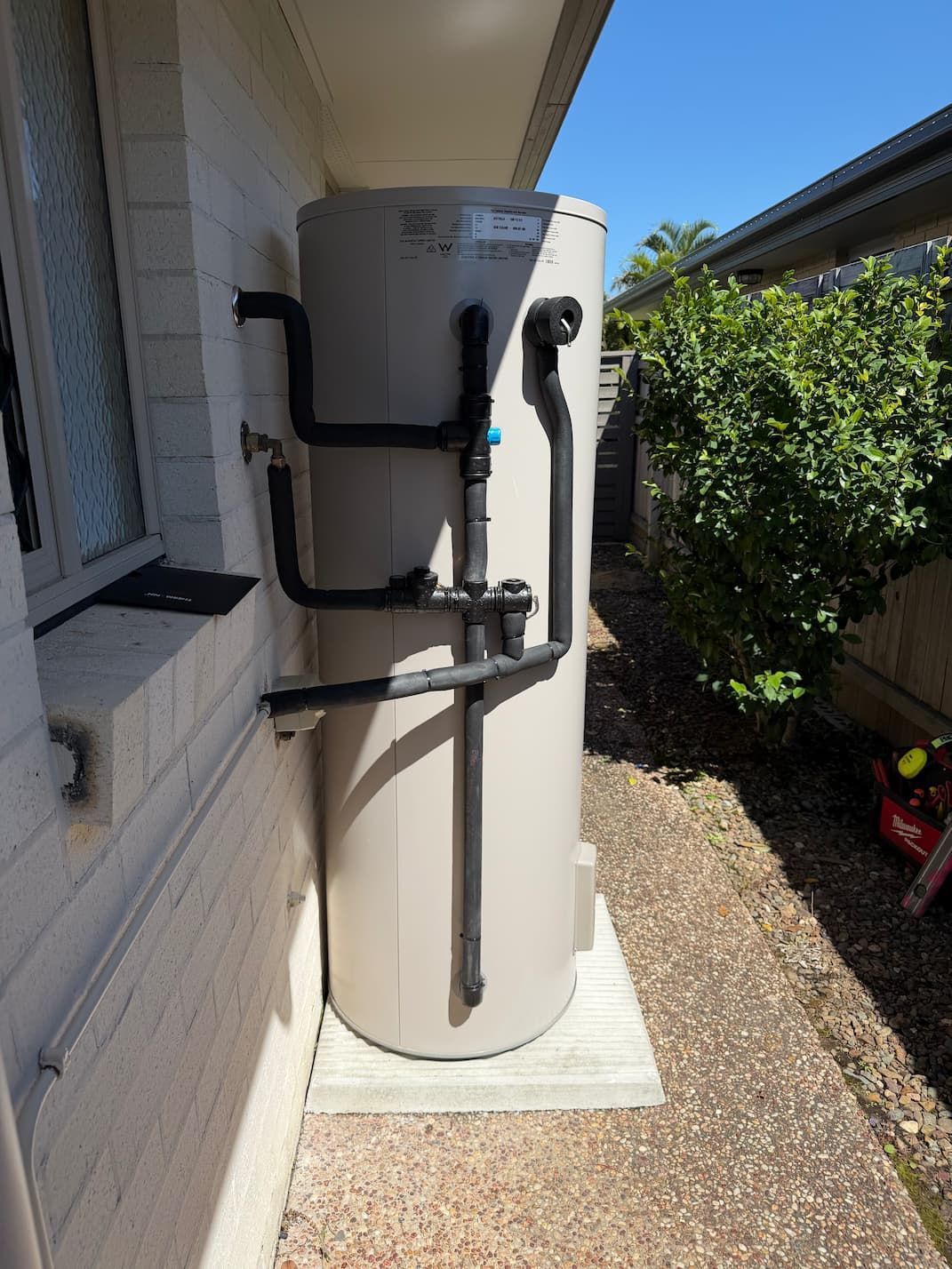
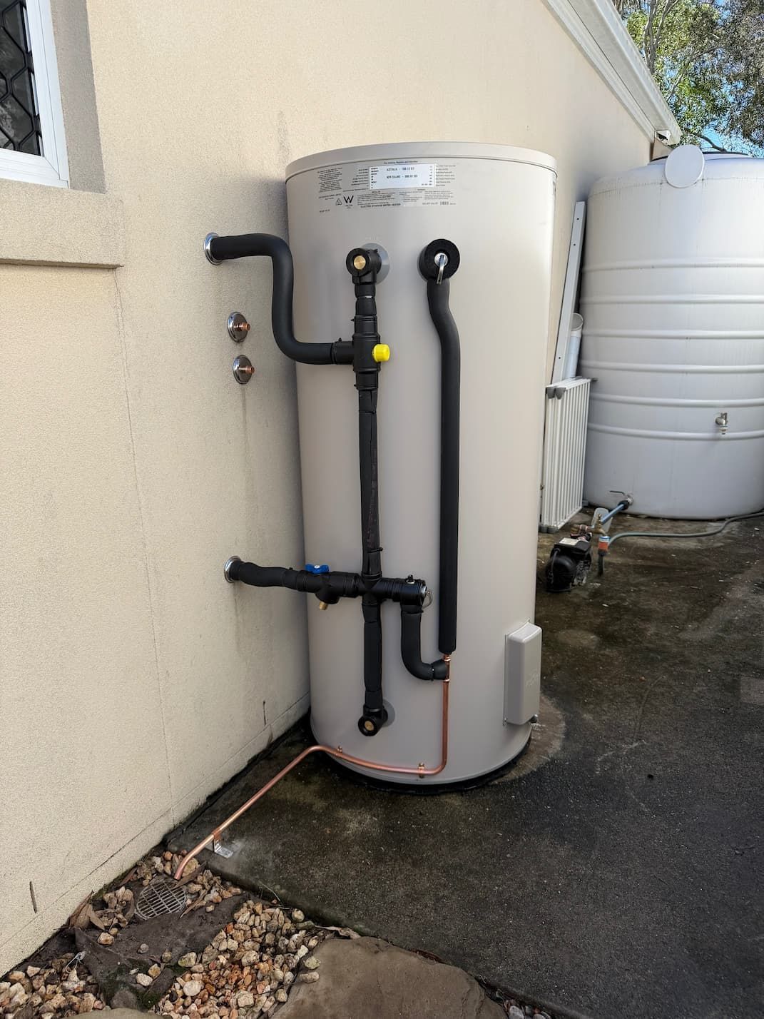
- Keeping an emergency plumbing contact on hand in case flooding causes blocked drains, burst pipes or hot water system damage.
If floodwater does get into your plumbing system, don't wait. A compromised hot water unit, gas line, or sewer connection after a flood event is a safety issue, not just an inconvenience.
Buying or Renting? How to Use the Flood Map Before You Commit
If you're about to sign a contract, the flood map should be one of the first things you check, not an afterthought during settlement.
Ordering a Flood Search or Certificate During Conveyancing
A flood certificate gives you a formal, documented record of the flood information council holds for a property, which is more robust than a quick online search alone. It's worth building this into your conveyancing and property due diligence process alongside building and pest inspections. It's also worth pairing with a proper pre-purchase plumbing inspection so you understand both the flood risk and the condition of the property's plumbing before you commit.
Questions to Ask the Seller, Agent or Council
Before signing anything, ask:
- Has the property ever flooded, and if so, when and how badly?
- Is there a current flood certificate available for this address?
- Are there any development conditions tied to flood mitigation on this title?
- Has the insurer flagged any flood-related exclusions or loadings for this property?
Flood History and Preparedness on the Sunshine Coast
Understanding past flood events helps put current mapping into context, but preparedness is what actually protects your home when the next event hits.
Notable Past Flood Events
The Sunshine Coast has experienced a range of flood events over the years tied to east coast lows, ex-tropical cyclones and intense rain depressions, including the major floods of 2011, 2013 and 2022 referenced above. For specific historical flood levels affecting your property, the historical extent layer on council's flood map, or a formal flood certificate, is the most reliable source rather than general recollection.
Where to Get Real-Time Flood Warnings
During active weather events, rely on official emergency services and Bureau of Meteorology warnings rather than social media rumours. Having a plan in place before the wet season starts makes a real difference.
Know Before It Floods, Not After
Checking the Sunshine Coast flood map takes a few minutes, and it can save you from nasty surprises when buying, building, or insuring a property. Use the official council tool for your address, read both the modelled and historical layers, and get a formal flood certificate if you need something documented for conveyancing or insurance.
And if a flood event does cause plumbing problems, blocked drains, water-damaged hot water systems, or gas safety concerns, Celsius Plumbing offers 24/7 emergency response across the Sunshine Coast, with licensed plumbers, upfront pricing, and a $0 call-out fee. We'd rather you call us before a small issue becomes a flood-related emergency.
Written by Justin from Celsius Plumbing
Meet Justin, the owner of Celsius Plumbing. With over 15 years of industry experience, Justin combines technical expertise with a commitment to clear communication and reliable service.